Apache Junction, AZ
Silly Mountain Park
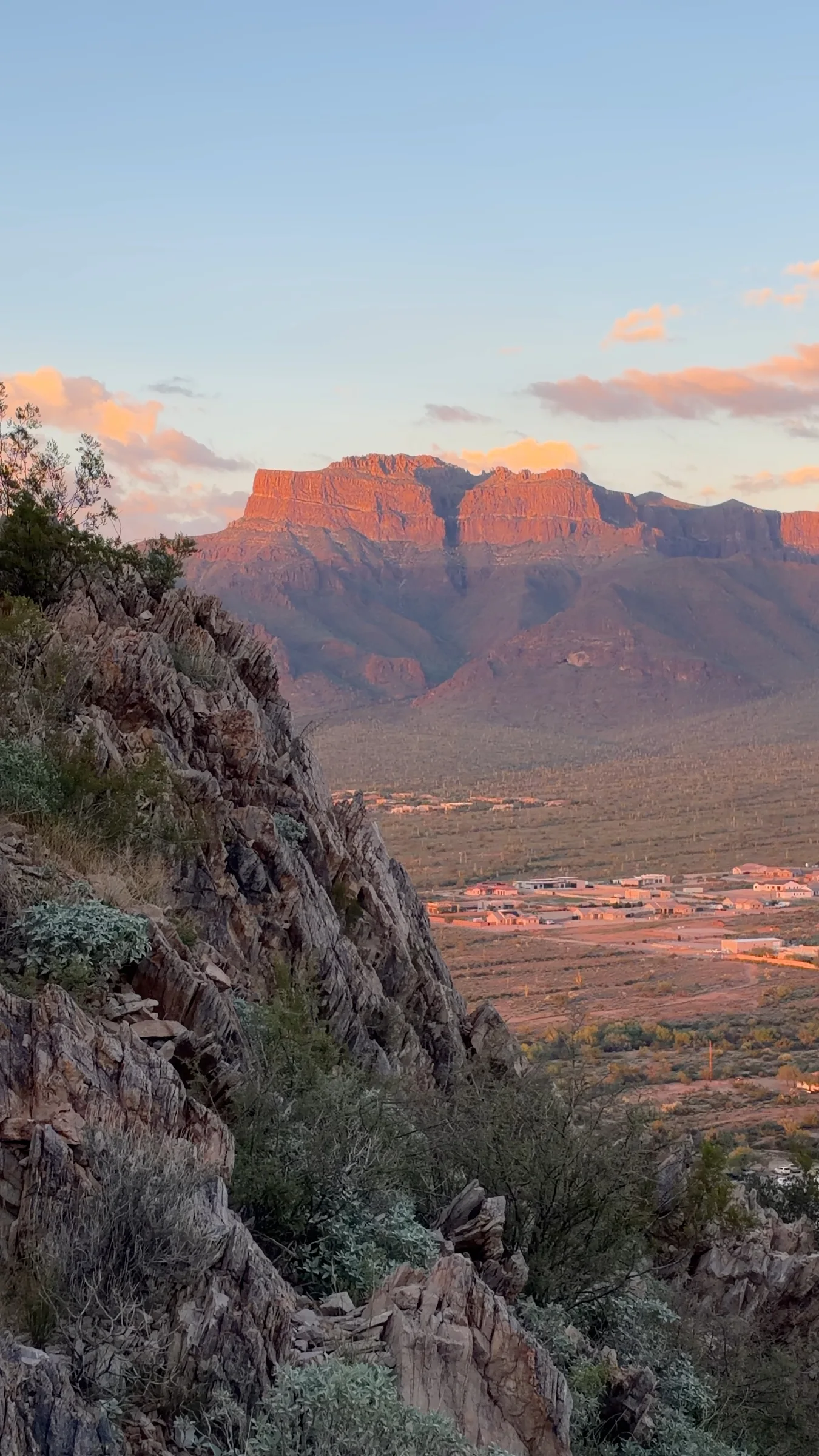
Short desert trails, rocky climbs and broad Superstition Mountain views at an Apache Junction city park. Choose an easy botanical walk or a more demanding hillside route, and plan to finish before sunset.
Why it belongs in the guide
Silly Mountain makes a good choice when you want desert scenery without committing to a long backcountry day. Its hillside trails look across Apache Junction and toward the Superstition Mountains, while the short Botanical Walk offers a gentler option near the base. The name is lighthearted; some of the rockier climbs still deserve careful footing.
Choose your route before you climb
The official city trail map shows a network of connecting paths with easy, moderate and difficult sections. It lists the Botanical Walk at approximately 0.3 mile, Superstition View at 1.1 miles, Brittlebush and Palo Verde at 0.4 mile each, and shorter links including Crest, Old Baldy and Huff & Puff. Those figures describe the named trails individually; they are not ready-made round-trip distances.
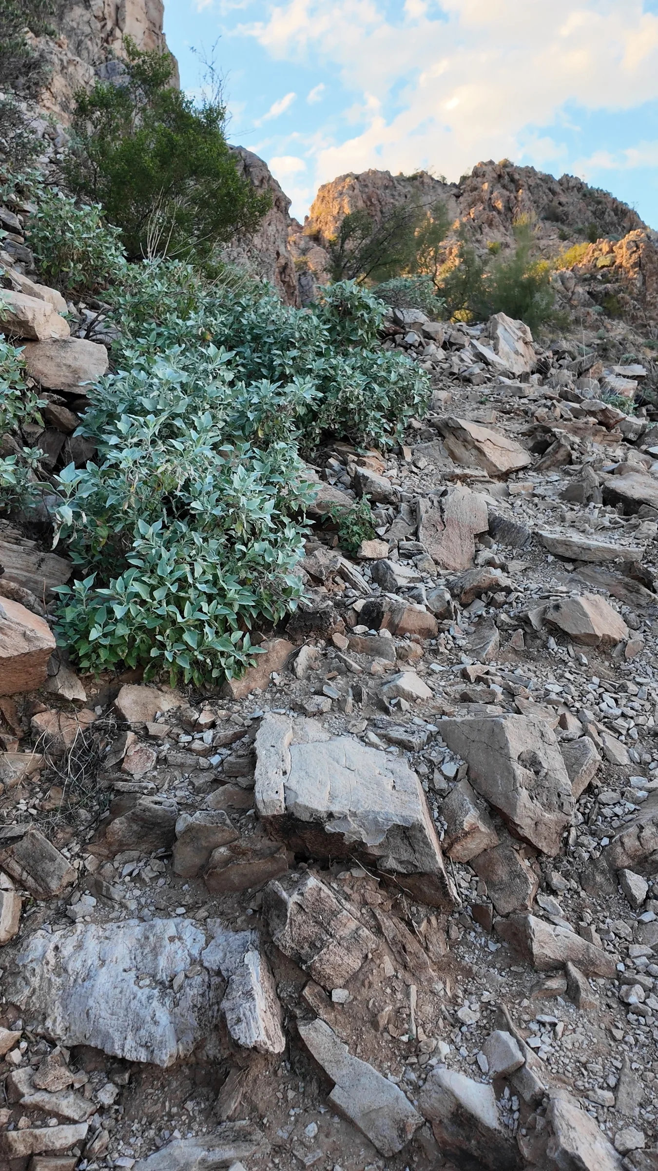
For a short, lower-effort visit, start with the Botanical Walk. For a mountain outing, select your connections from the map and allow for the return to the parking area. The higher trails include uneven stones and steeper sections. A single distance, elevation gain or difficulty rating would not describe every Silly Mountain hike accurately.
Views and late-day light
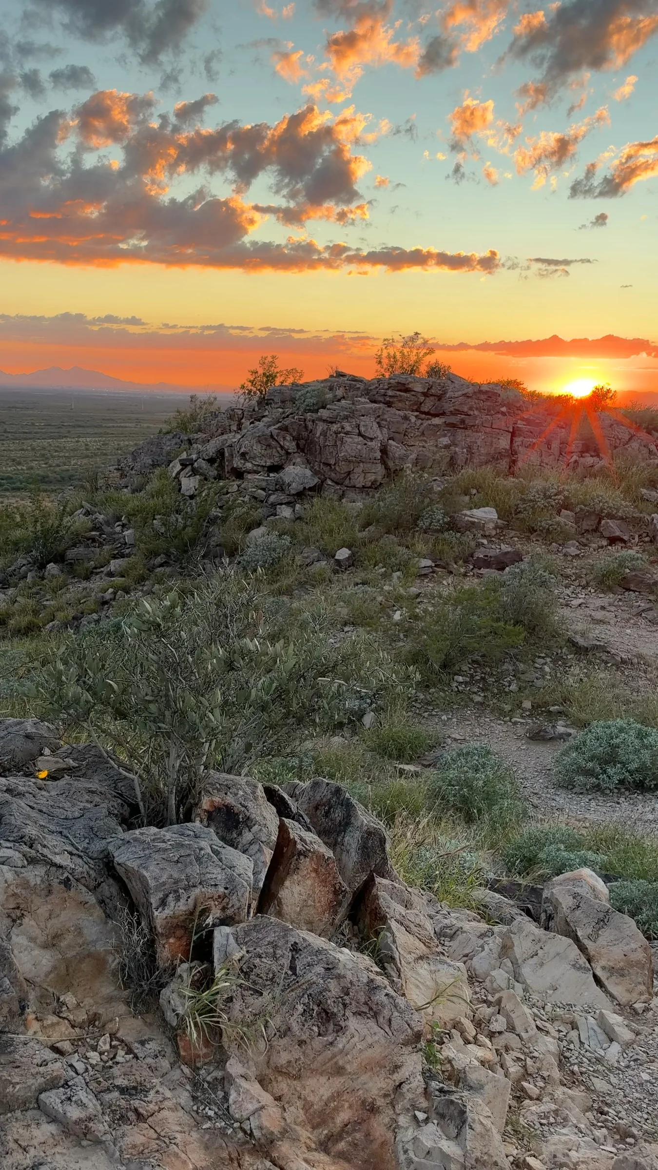
The original footage used on this page shows the Superstition cliffs catching orange evening light and the sun dropping over the valley. Those views explain much of the park’s appeal. Treat sunset as your deadline, however: the city lists Silly Mountain’s hours as sunrise to sunset. Leave time to descend while you can still see the rocks clearly and exit before closing.
Getting there and choosing an accessible option
The park is at 3565 S Silly Mountain Road, near US 60. The address appears in an official county-hosted park event flyer. Use “Silly Mountain Park” for navigation and review the posted map on arrival.
A city tourism guide describes the Botanical Walk, parking and bathrooms as accessible. That description applies to the base-area facilities, not to the rocky mountain trails. The guide dates to 2023, so visitors who need specific surface, grade or restroom details should confirm current conditions with the city before traveling.
Before you go
- Bring your drinking water, sun protection and shoes with grip. Avoid hiking in dangerous heat.
- Keep dogs leashed and clean up after them, as required by the city’s park rules.
- Match the route to the group. The Botanical Walk and the steeper mountain sections are different outings, especially for young children or anyone with limited mobility.
- Current general admission or parking fees and potable-water availability were not confirmed in the official material reviewed. Do not depend on a water refill at the park.
Know before you go
Practical details.
- Location
- 3565 S Silly Mountain Road, Apache Junction, AZ 85119, Apache Junction
- Location
- 3565 S Silly Mountain Road, Apache Junction, AZ 85119
- Hours
- Sunrise to sunset; allow enough time to return before closing
- Route options
- A connected trail network, not one fixed loop; use the official park map
- Short walk
- Botanical Walk: approximately 0.3 mile on the city trail map
- Mountain trails
- Easy, moderate and difficult sections; rocky footing and steeper climbs
- Dogs
- Leashed dogs permitted; clean up after your pet
- Accessibility
- City tourism describes the Botanical Walk and base facilities as accessible; mountain trails are separate, rougher routes
- Water and fees
- Bring all drinking water; current potable-water availability and general admission/parking fee policy were not verified
- Trail mileage
- Map distances are individual trail lengths, not complete loop or round-trip totals
- Visit imagery
- Stills from original hiking footage recorded November 6, 2026
Keep exploring
More places worth knowing.

Flatiron via Siphon Draw Trail
A demanding 5.8-mile round trip from Lost Dutchman State Park into the Superstition Wilderness, intended for experienced desert hikers.
Peralta Trail to Fremont Saddle
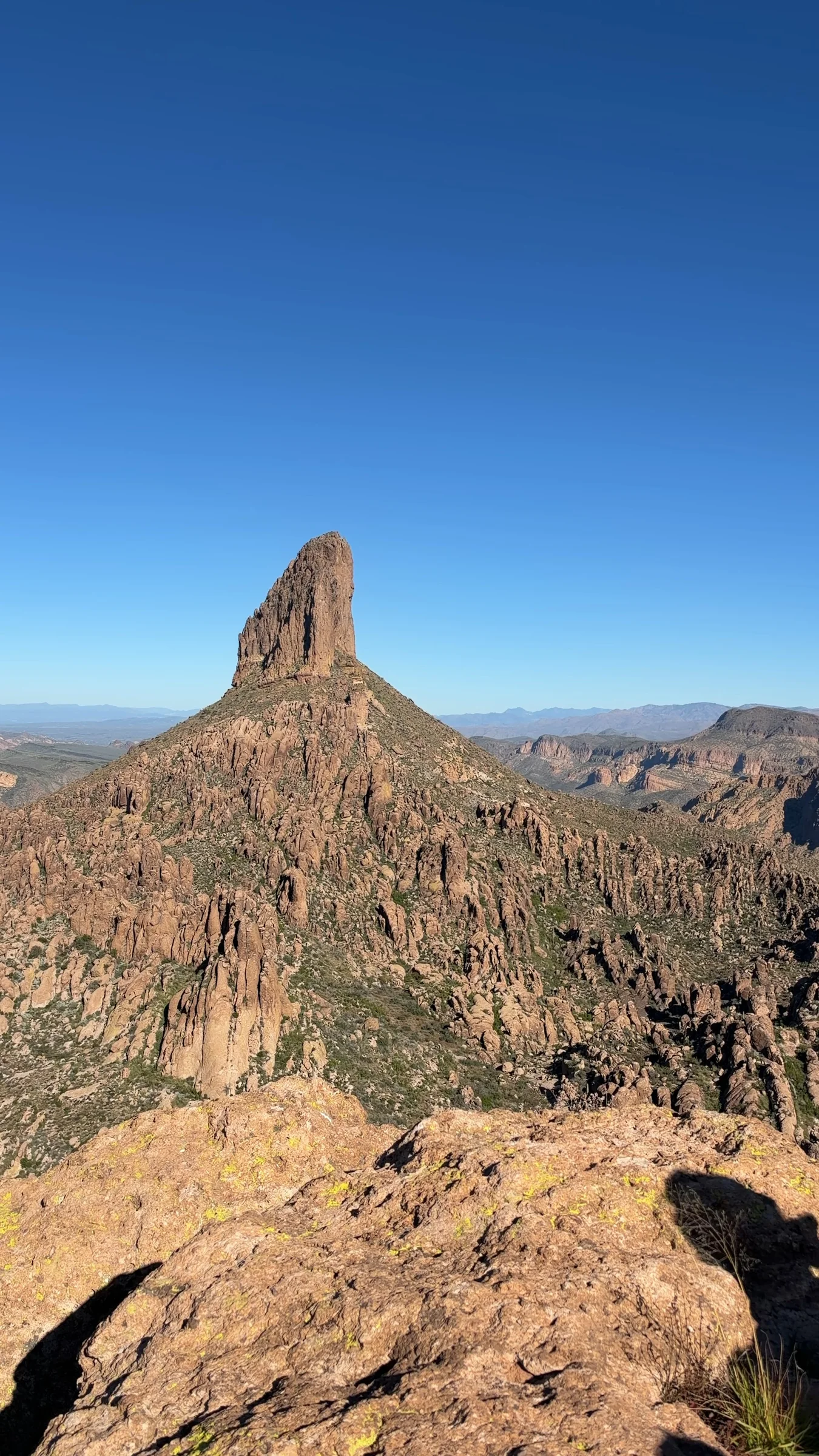
A rocky canyon climb to Fremont Saddle and views of Weaver’s Needle in the Superstition Wilderness. Plan on about 5 miles round trip and roughly 1,400 feet of climbing, with no potable water at the trailhead.

Merkle Trail
A 0.9-mile barrier-free loop at Usery Mountain Regional Park, with gentle grades and an accessible desert-trail option for varied-ability groups.

Wind Cave Trail
A steep, popular 3-mile round trip on Pass Mountain to a shaded rock alcove, with 812 feet of elevation change and broad East Valley views.