
Mesa, AZ
Wind Cave Trail
A steep, popular 3-mile round trip on Pass Mountain to a shaded rock alcove, with 812 feet of elevation change and broad East Valley views.
Why it belongs in the guide
Wind Cave is Usery Mountain Regional Park's best-known climb. The county trail table lists it as a difficult, hike-only route measuring 1.5 miles each way with 812 feet of elevation change. It climbs the side of Pass Mountain toward the Tonto National Forest boundary, trading sustained effort for wide desert views.
The destination is a shallow rock alcove rather than a walk-through cave. The park notes that water seeping from the alcove roof supports hanging Rock Daisy growth. Treat the alcove and plants gently, stay on the established route, and expect much more sun exposure than the shaded endpoint suggests.
Carry enough water, turn around before heat or fatigue becomes a problem, and verify current park alerts. Use the official trail table for distance and rating and the official hiking page for conditions and etiquette. Photo: Z Glyph/Wikimedia Commons, licensed under CC BY 3.0.
Know before you go
Practical details.
- Location
- 3939 N. Usery Pass Rd., Mesa, AZ 85207, Mesa
- Official rating
- Difficult; hike only
- Route
- 3 miles round trip
- Elevation change
- 812 feet
- Destination
- Shaded rock alcove on Pass Mountain
- Distance
- 3.0 miles
- Elevation gain
- 812 ft
- Difficulty
- 4/5
- Typical time
- 2 hr 30 min
- Trailhead fee
- $10.00
- Family / dog / accessible
- No / No / No
Keep exploring
More places worth knowing.

Merkle Trail
A 0.9-mile barrier-free loop at Usery Mountain Regional Park, with gentle grades and an accessible desert-trail option for varied-ability groups.
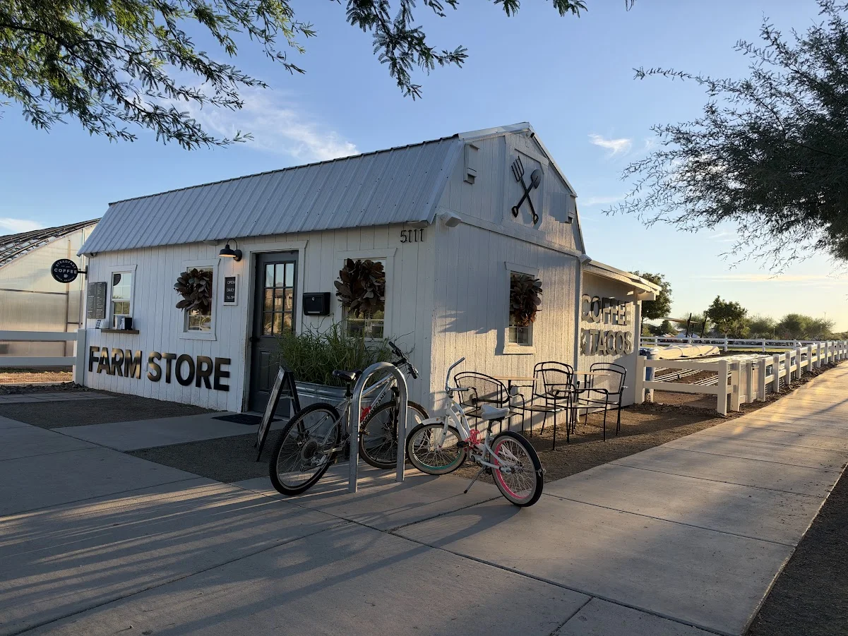
Steadfast Coffee at Eastmark
Coffee, breakfast tacos and outdoor seating at Eastmark’s Farm Store in Mesa, with vegetarian options and a relaxed setting beside the farm.

Flatiron via Siphon Draw Trail
A demanding 5.8-mile round trip from Lost Dutchman State Park into the Superstition Wilderness, intended for experienced desert hikers.