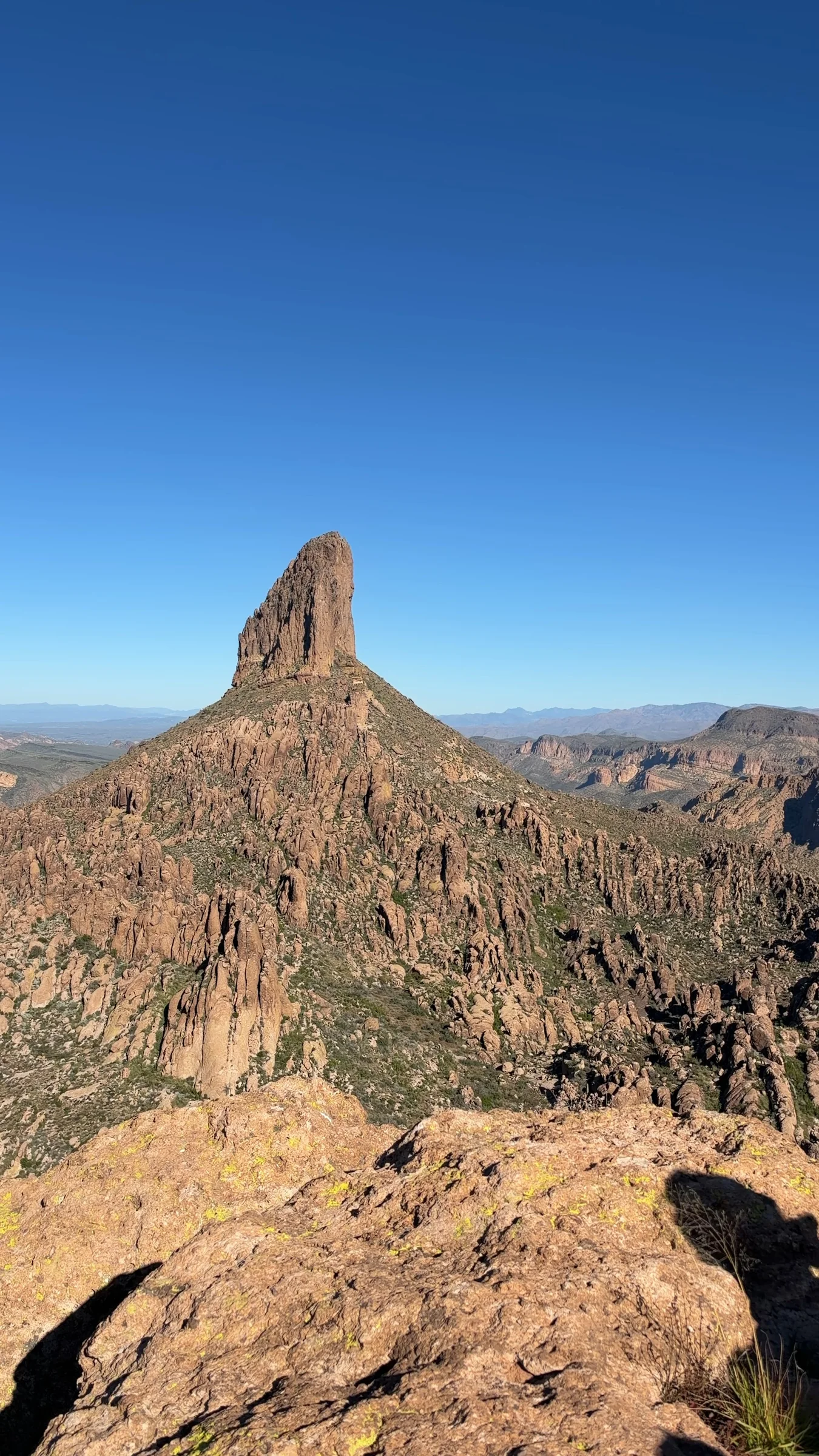
Apache Junction, AZ
Peralta Trail to Fremont Saddle
A rocky canyon climb to Fremont Saddle and views of Weaver’s Needle in the Superstition Wilderness. Plan on about 5 miles round trip and roughly 1,400 feet of climbing, with no potable water at the trailhead.
Why it belongs in the guide
Peralta Trail climbs through a canyon of rugged rock formations toward Fremont Saddle, where Weaver’s Needle becomes the main attraction. The original footage on this page captures both sides of the outing: rocky surfaces underfoot and wide views across the Superstition Wilderness.
The Fremont Saddle hike
Start at the Forest Service’s Peralta Trailhead, follow Peralta Trail #102 up the canyon to Fremont Saddle, and return the same way. For this out-and-back, plan on about 5 miles and roughly 1,400 feet of accumulated climbing. These are route-planning estimates: HikeArizona’s Fremont Saddle route record reports 4.9 miles and 1,440 feet of accumulated gain. Allow around 3–4 hours with breaks as an editorial estimate, with extra time for a slower pace or difficult conditions.
Do not confuse this outing with the entire Peralta Trail. The Forest Service directory lists the full trail at 6.2 miles to its junction with Dutchman’s Trail and warns of bedrock and difficult footing. That is not the round-trip mileage to Fremont Saddle. Side trips beyond the saddle add distance and are not included here.
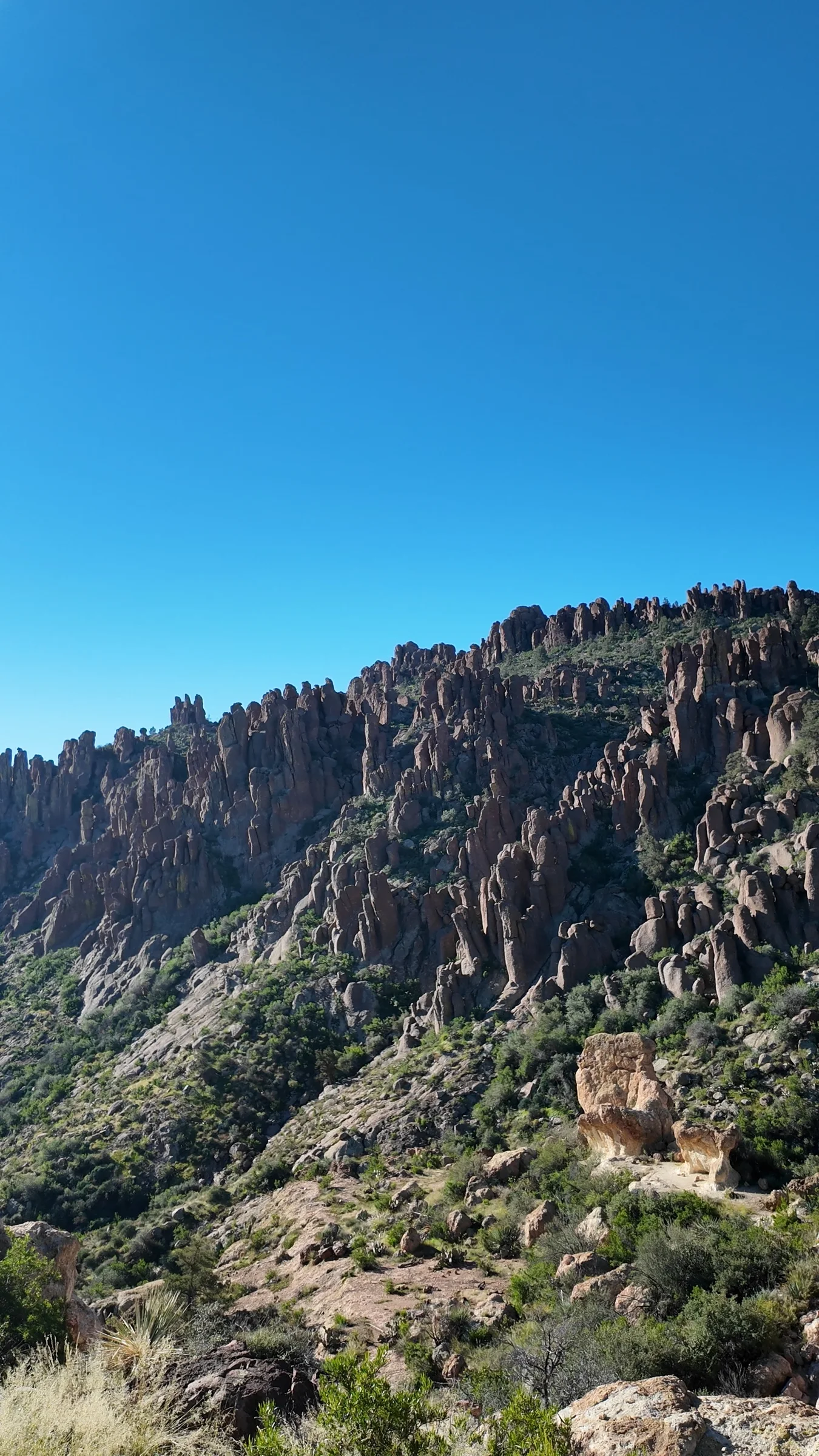
How hard is it?
Expect a moderate-to-challenging hike rather than a casual walk: the climb is sustained, the surface can be uneven, and exposed stretches can feel much harder in the heat. Wear shoes with reliable traction and carry an offline map. The rocky route is not wheelchair accessible; a trailhead description of an accessible toilet building does not make the hiking trail accessible.
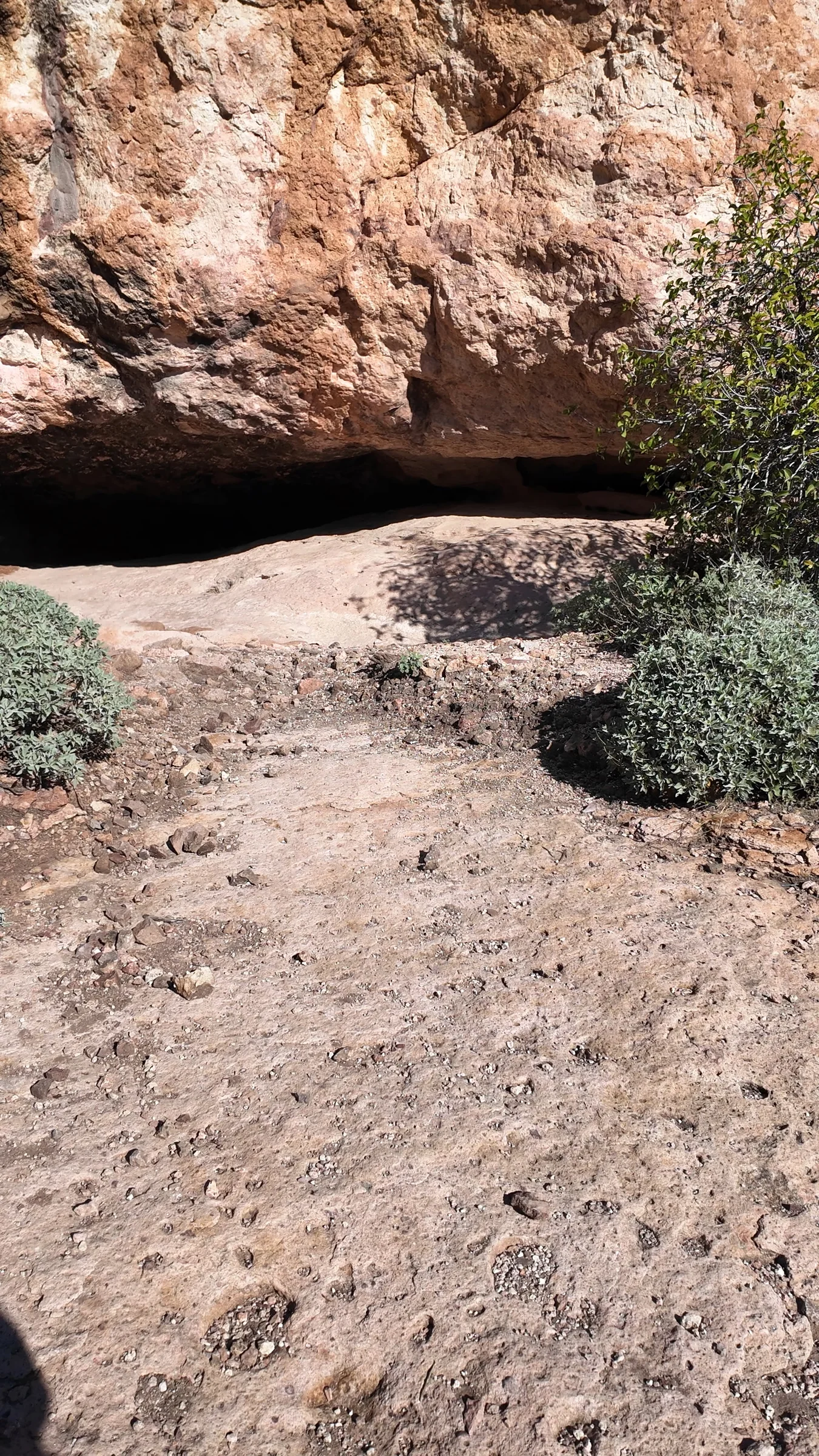
Trailhead, fees and facilities
The official Peralta Trailhead page directs visitors from US 60 north on Peralta Road/Forest Road 77 for approximately 8 miles. It lists no trailhead fee and no potable water. Carry all the water you expect to need, plus a reserve.
Restroom caution: the Forest Service trail directory reports the bathrooms closed. Although the separate trailhead page describes a toilet building, do not assume it is operational. Check the current listing before leaving.
The approach includes unpaved road. Check current road conditions, especially after storms, rather than assuming every vehicle can make the drive. Published road-project timelines differ: the Federal Highway Administration project page and a Pinal County update give different anticipated schedules. Neither establishes same-day access conditions. This trailhead is separate from Peralta Regional Park; that county park’s fees and hours do not describe this hike.
Plan for desert conditions
- Choose a cool-weather window, check the forecast, and turn around for heat, fatigue, storms or uncertain footing.
- Carry water, food, sun protection, a light and offline navigation. Let someone know your route and expected return.
- Keep dogs leashed in line with Forest Service responsible-recreation guidance, and confirm current local restrictions before bringing a pet.
- Check the trailhead listing and Tonto National Forest alerts before departure. The official listings reported the trail and trailhead open when reviewed; conditions can change.
Know before you go
Practical details.
- Location
- Peralta Trailhead, Forest Road 77, Tonto National Forest, Arizona, Apache Junction
- Route
- Peralta Trailhead to Fremont Saddle and back on the same trail
- Distance
- About 5 miles round trip; planning estimate for Fremont Saddle, not the full Peralta Trail
- Climbing
- Approximately 1,400 feet accumulated elevation gain; route estimate
- Allow
- 3–4 hours including breaks, as an editorial estimate; allow longer for heat, footing or a slower pace
- Difficulty
- Moderate to challenging: sustained climbing with rocky and bedrock footing
- Trailhead fee
- No fee at the Forest Service Peralta Trailhead, according to its official listing
- Drinking water
- No potable water at the trailhead; carry your full supply
- Restrooms
- Forest Service trail directory reports bathrooms closed as of this review
- Approach road
- Approximately 8 miles north from US 60 on Peralta Road/FR 77; unpaved sections, verify current conditions
- Accessibility
- The steep, rocky hiking route is not a wheelchair-accessible trail
- Pets
- Forest Service guidance recommends leashing dogs; confirm current local restrictions before bringing a pet
- Visit imagery
- Stills from original hiking footage recorded November 8, 2026
Keep exploring
More places worth knowing.

Flatiron via Siphon Draw Trail
A demanding 5.8-mile round trip from Lost Dutchman State Park into the Superstition Wilderness, intended for experienced desert hikers.
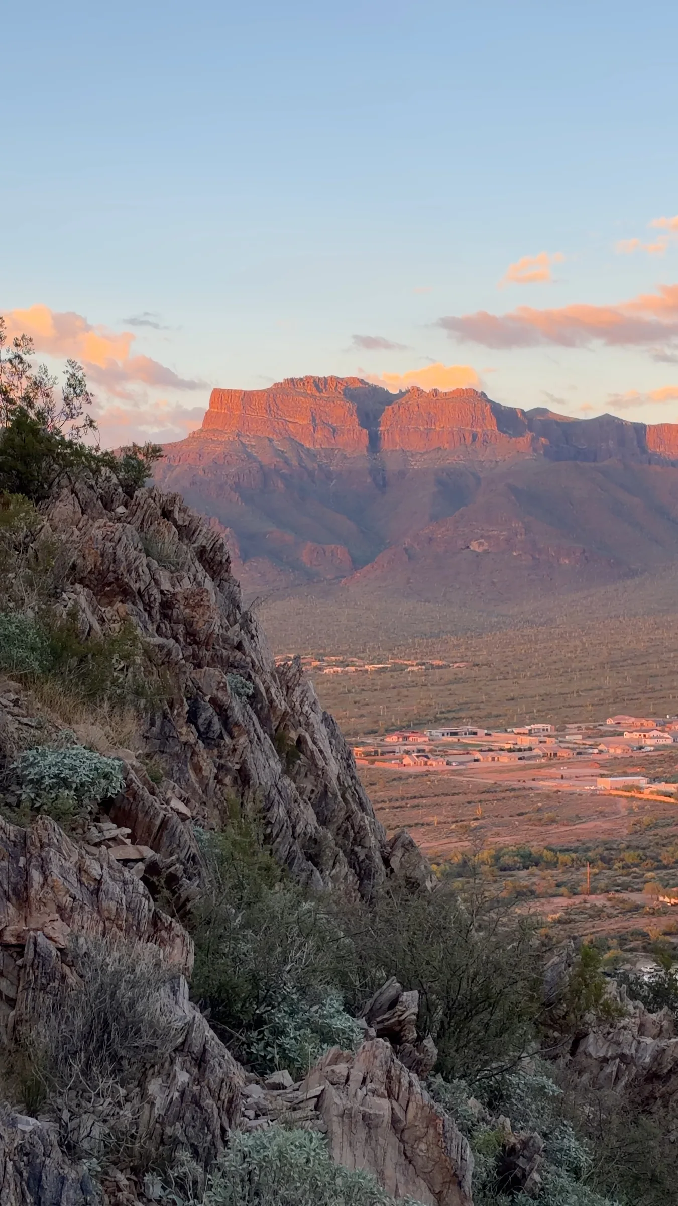
Silly Mountain Park
Short desert trails, rocky climbs and broad Superstition Mountain views at an Apache Junction city park. Choose an easy botanical walk or a more demanding hillside route, and plan to finish before sunset.

Merkle Trail
A 0.9-mile barrier-free loop at Usery Mountain Regional Park, with gentle grades and an accessible desert-trail option for varied-ability groups.

Wind Cave Trail
A steep, popular 3-mile round trip on Pass Mountain to a shaded rock alcove, with 812 feet of elevation change and broad East Valley views.