
Mesa, AZ
Merkle Trail
A 0.9-mile barrier-free loop at Usery Mountain Regional Park, with gentle grades and an accessible desert-trail option for varied-ability groups.
Why it belongs in the guide
Merkle Trail is the clearest low-barrier introduction to Usery Mountain Regional Park. Maricopa County lists the loop at 0.9 mile with 68 feet of elevation change and classifies it as barrier-free with the easiest rating. The park also describes it as suitable for strollers and wheelchairs, making it a useful option when a group wants desert scenery without a steep climb.
Barrier-free is the park's trail classification, not a promise that every mobility device will handle every day's surface conditions. Restrooms are near the trailhead, but a 2026 county program notice says there is no water at the trailhead. Bring water even for this short loop and check current alerts before traveling. General county rules allow leashed pets on designated trails, although a particular ranger program may set stricter rules.
Confirm current hours, fees, alerts, and trail conditions on the official Usery Mountain trail page. Accessibility context is also available in the park's official itinerary. Usery Mountain Regional Park photo: Z Glyph/Wikimedia Commons, licensed under CC BY 3.0.
Know before you go
Practical details.
- Location
- 3939 N. Usery Pass Rd., Mesa, AZ 85207, Mesa
- Official classification
- Barrier-free; easiest
- Route
- 0.9-mile loop
- Elevation change
- 68 feet
- Trailhead
- Restrooms nearby; no water at trailhead
- Distance
- 0.9 miles
- Elevation gain
- 68 ft
- Difficulty
- 1/5
- Typical time
- 30 min
- Trailhead fee
- $10.00
- Family / dog / accessible
- Yes / Yes / Yes
Keep exploring
More places worth knowing.

Wind Cave Trail
A steep, popular 3-mile round trip on Pass Mountain to a shaded rock alcove, with 812 feet of elevation change and broad East Valley views.
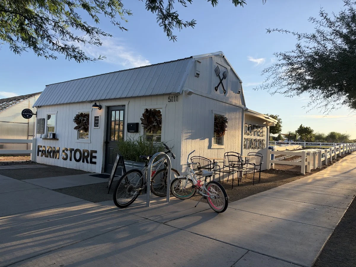
Steadfast Coffee at Eastmark
Coffee, breakfast tacos and outdoor seating at Eastmark’s Farm Store in Mesa, with vegetarian options and a relaxed setting beside the farm.

Flatiron via Siphon Draw Trail
A demanding 5.8-mile round trip from Lost Dutchman State Park into the Superstition Wilderness, intended for experienced desert hikers.